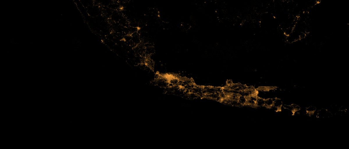
Nighttime-Lights Economic Pulse
Monthly satellite radiance across 514 regencies, calibrated against BPS regional accounts and reviewed against the literature. Lights say where the economy is, not when it moves — and we publish the failed check that proves it.
Indonesia in the Global Trade Network
330 million rows of bilateral trade — the product space, and then the half the map was missing. Downstreaming multiplied Indonesia’s processed-nickel exports 14.6× in dollars and 34.6× in tonnes: the price per tonne fell 58%. The import data shows what that bought — chrome ore up 124×, and the world’s largest coal exporter buying US$3.2B of coal a year.
Jakarta Is Sinking
Sentinel-1 radar over 261 kelurahan, 2017–2023. Central Jakarta now falls at 3.8 mm a year, down from 8.6 — while Pekalongan accelerates past 11 cm. The fastest ground in Jakarta is no longer on the coast: it is inland in the west, where the groundwater-free zone does not reach.
Indonesia in the Global Narrative
A decade of the world’s news, machine-read and filtered to Indonesia: 8.05 million coded events from 49.6 GB of raw feed. It measures who talks about Indonesia and about what — three quarters of it Indonesia’s own press — far better than it measures how much the world is looking.
Transit Access & Urban Equity
Four transit systems on one routing graph. An hour of scheduled public transport buys Jakarta’s median resident 4.29% of the region’s job-dense floorspace and Bodetabek’s 0.05% — but 34 kelurahan, 739,629 people, live within 10 km of more of it than average and reach none of it at all.
Rice & Food Security
Sentinel-1 radar reads Java’s paddy through monsoon cloud — 1.23 million cells, 1.18 million crop cycles, against 6,240 official BPS regency-months. All five checks fail, and the review overturned our own first diagnosis: three quarters of the shortfall is fields the radar never sees, and what decides that is how often the satellite looks.
Fire & Haze Early Warning
2.68 million VIIRS detections, cleaned of the volcanoes and gas flares that make Indonesia’s hotspot table partly a geology table. Then ignition risk days ahead — refit so that no cell it scores was ever seen in training, and it barely blinks — and back-trajectories honest about how far upwind they can point.
Forest & Commodity Watch
404,287 radar disturbance events since 2020, tested against palm estates, mill sourcing areas and peat. Three quarters of alerted hectares fall inside a mill catchment — but so does 42% of all alertable forest, so the number that matters is the 1.76× lift, running from 1.03× in Riau to 2.43× on the Kalimantan frontier.
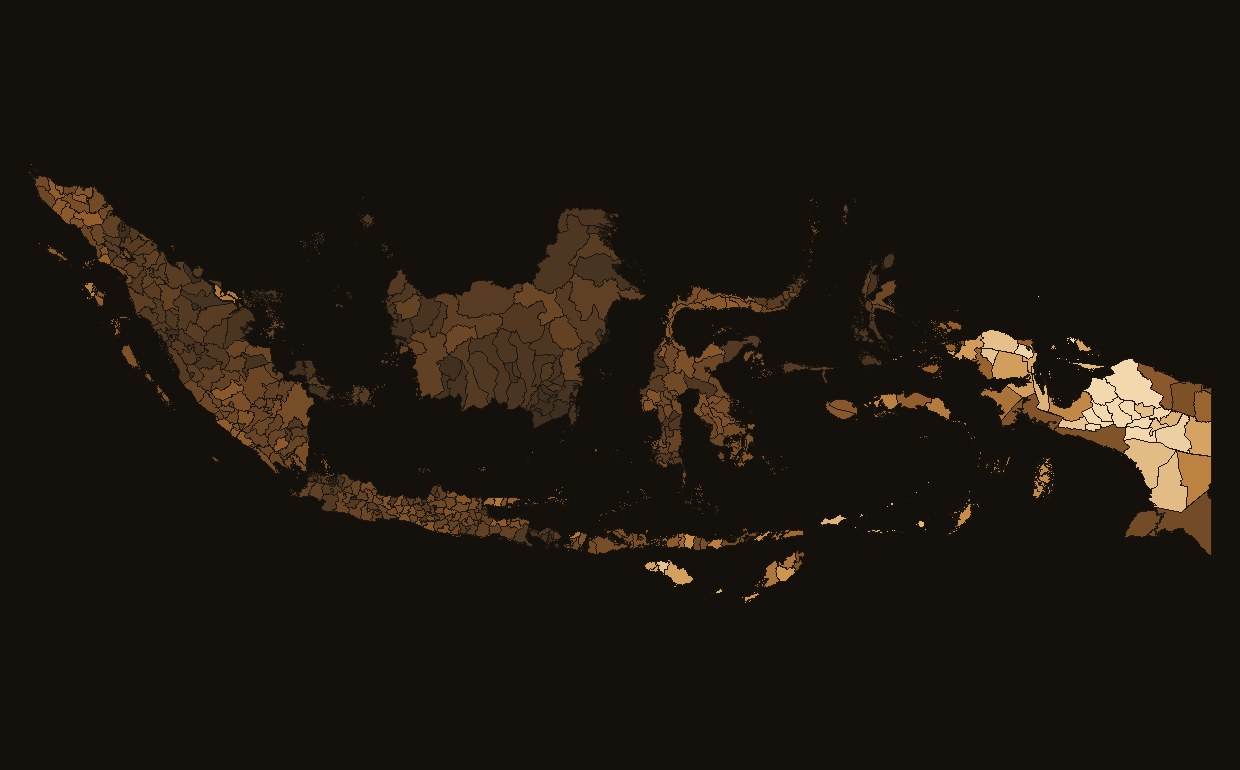
Poverty Mapping from Space
Rooftops, lights and land cover as welfare signals across 7,069 kecamatan. Its headline check fails, and an adversarial review found the reason is fold design, not the target: a random fold on the same rows scores 0.65, holding a whole province out scores 0.40.
Jabodetabek Air Quality Nowcast
A 24–72 hour PM2.5 nowcast for 32 million people, from ERA5, fire detections and whatever ground sensors are left. It beats “tomorrow looks like today” — and in proving it, established that Greater Jakarta is down to one working public sensor, 43 metres from a dead one it disagreed with sixfold.